

Tucked along Florida’s Gulf Coast, Bonita Springs is known for sugary sand and laid-back luxury. But the real magic? It’s not in the tourist-heavy hot spots. It’s in the quiet, unmarked turnoffs. The barely-there boardwalks. The beaches locals don’t talk about unless you ask twice—and even then, they’ll pretend they forgot the name.
Here’s your unofficial guide to 10 hidden beaches near Bonita Springs. No hype. Just salt air, space to breathe and a little local secrecy.
10 Hidden Beaches Near Bonita Springs Locals Don’t Want You to Know About
Tucked along Florida’s Gulf Coast, Bonita Springs is known for sugary sand and laid-back luxury. But the real magic? It’s not in the tourist-heavy hot spots. It’s in the quiet, unmarked turnoffs. The barely-there boardwalks. The beaches locals don’t talk about unless you ask twice—and even then, they’ll pretend they forgot the name.
Here’s your unofficial guide to 10 hidden beaches near Bonita Springs. No hype. Just salt air, space to breathe and a little local secrecy.
1. Big Hickory Island (North Tip)
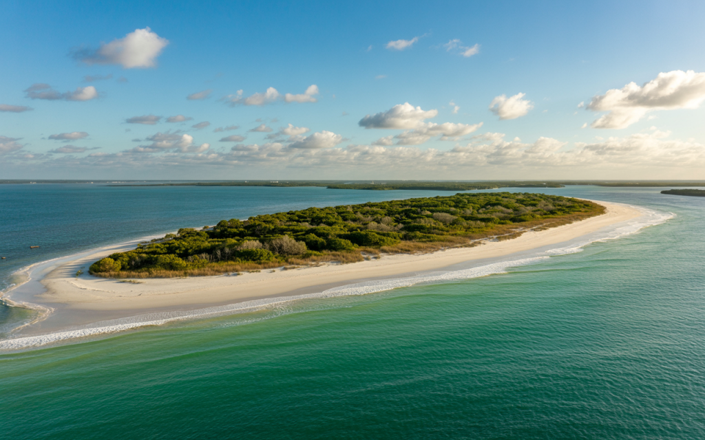
Among the Bonita Springs beaches often overlooked is Big Hickory Island.
Where: Boat-only access from Bonita Beach
Why locals keep it quiet: It’s one of the last undeveloped barrier islands this close to town.
What you’ll find: Driftwood skeletons, nesting ospreys and water so clear it looks filtered.
Pro tip: Charter a small boat or rent a kayak. Go early. Bring everything—no services, no lifeguards, no distractions.
2. Little Hickory Island (Southern Sliver)
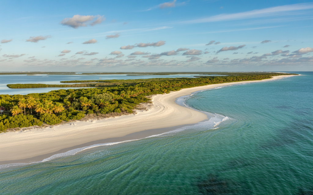
Where: Just north of Bonita Beach Park, if you walk far enough
Why locals keep it quiet: It’s technically part of a public beach but nobody goes that far down.
What you’ll find: Shells. No, real shells—fighting conchs, angel wings, and sand dollars the size of your palm.
Pro tip: Park at Bonita Beach, then walk south until the crowds disappear.
3. Barefoot Beach Preserve (Back Trail Entrance)
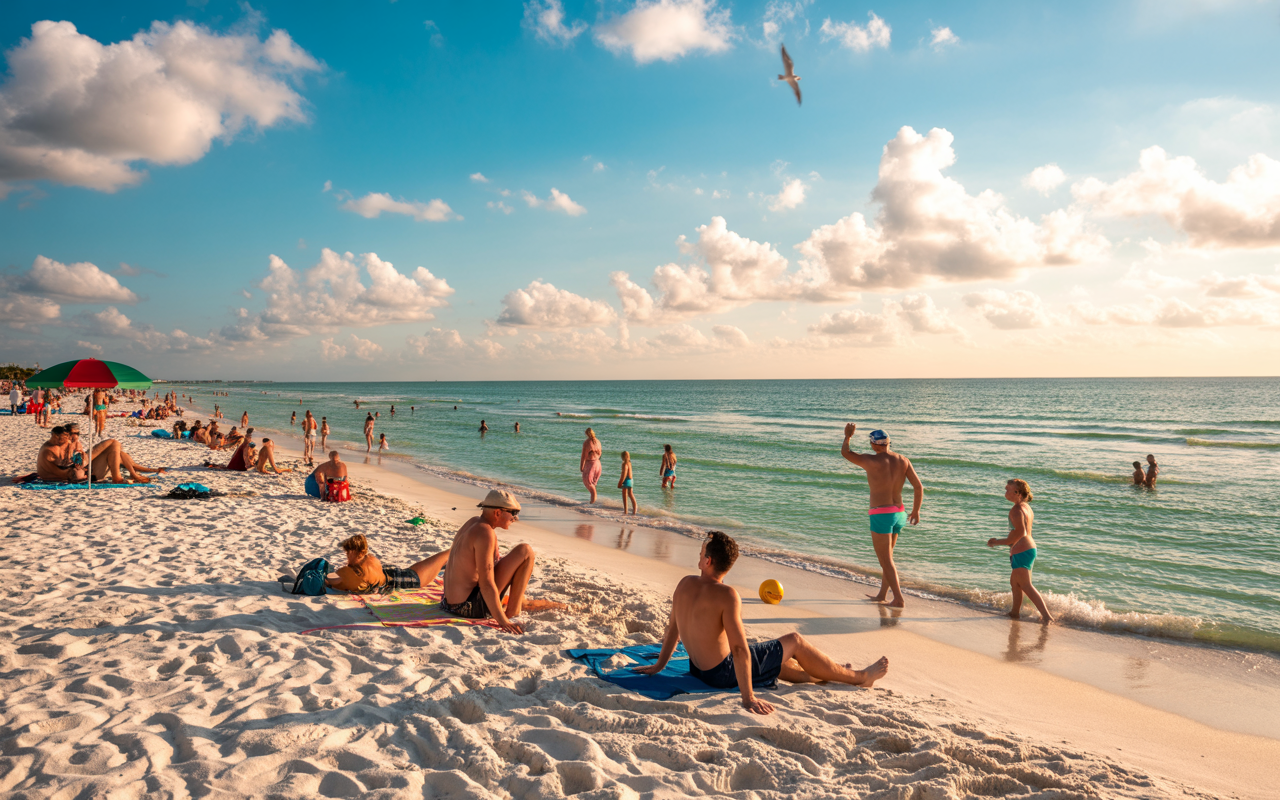
Where: Off Bonita Beach Road, but use the Collier County side gate
Why locals keep it quiet: Because the main gate charges. The back trail doesn’t.
What you’ll find: Nature trails that end in dune-lined beaches with few footprints.
Pro tip: Go during the week. Parking is limited. Wear shoes that can get wet—the trail can flood after rain.
4. New Pass
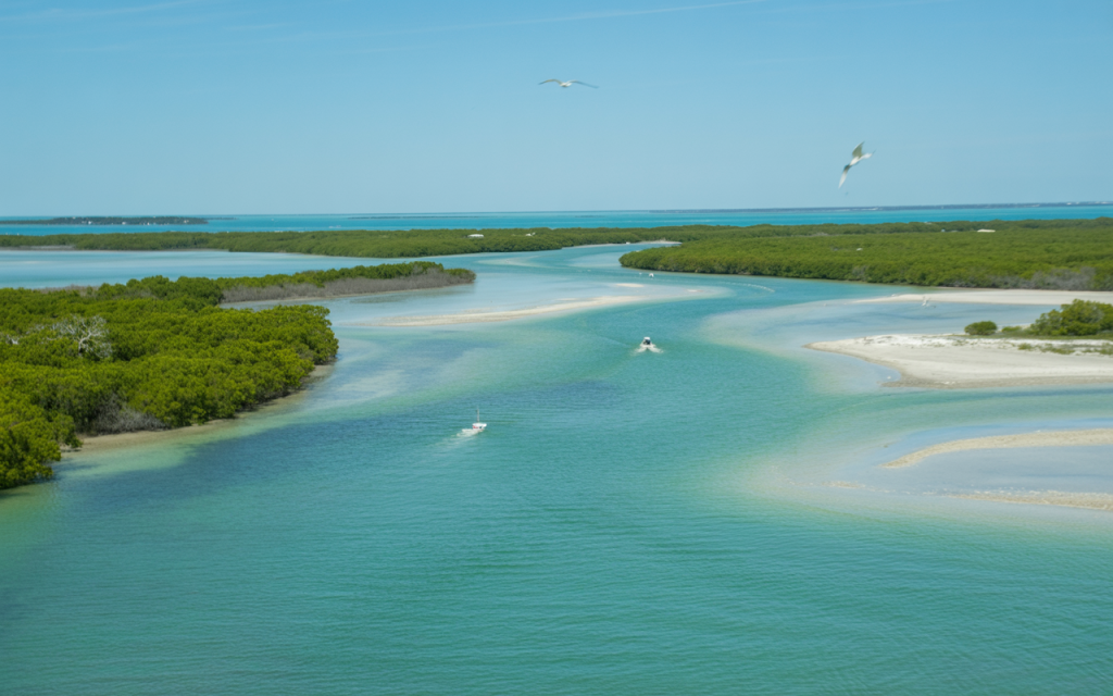
Where: Off Lovers Key, south end
Why locals keep it quiet: Boat-access only. The beach changes shape with the tides.
What you’ll find: Sandbars, tide pools, dolphins that actually come close.
Pro tip: Go during low tide for tide pooling. Just don’t get stuck when the tide rolls in—this pass moves fast.
5. Dog Beach Park
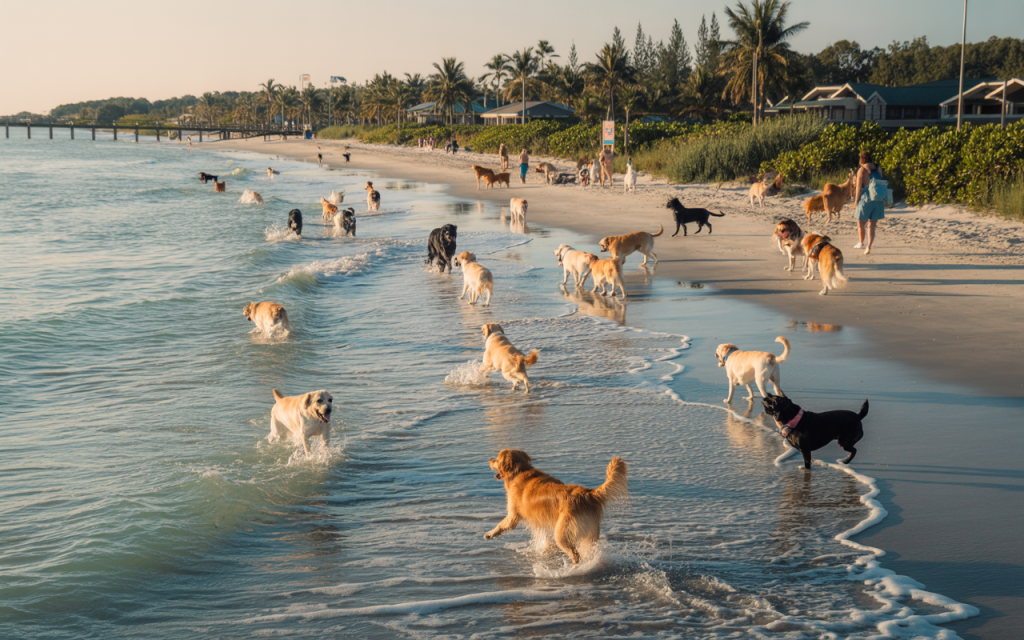
Where: Just north of the Estero Bay bridge
Why locals keep it quiet: It’s technically for dogs, but locals know it’s amazing even without one.
What you’ll find: Shallow water for days, a relaxed crowd, and sunsets with your feet still wet.
Pro tip: There are no fences—it’s leash-free and wildly peaceful. Don’t mind the dogs, they’ll share the space.
6. Carlos Point
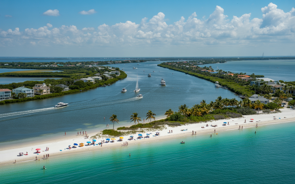
Where: Southern tip of Fort Myers Beach
Why locals keep it quiet: Tourists rarely walk this far past the condos
What you’ll find: Quiet fishing spots, tidal flats and a view of Big Carlos Pass that feels cinematic
Pro tip: Walk from the southern beach access. Go early to catch the shrimp boats heading out.
7. Vanderbilt North (Unmarked Trail)
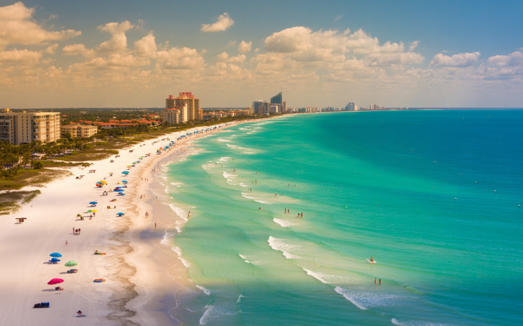
Where: Past the last beach access in North Naples
Why locals keep it quiet: There’s no official entry—just a worn path through mangroves
What you’ll find: Soft sand, shade trees and a hidden cove feel
Pro tip: Use a bike to access the trailhead. Locals ride in. Parking is tricky, but that’s the point.
8. Wiggins Pass (Backwater Cut)
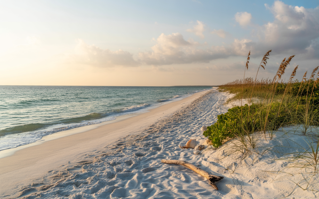
Where: Delnor-Wiggins Pass State Park, north end
Why locals keep it quiet: Most visitors never hike to the very edge of the preserve
What you’ll find: A backwater beach where manatees cruise past mangroves
Pro tip: Hike past the picnic area, past the boat docks. Stay quiet and look for fins. They’re not sharks.
9. Estero Bay Sandbar
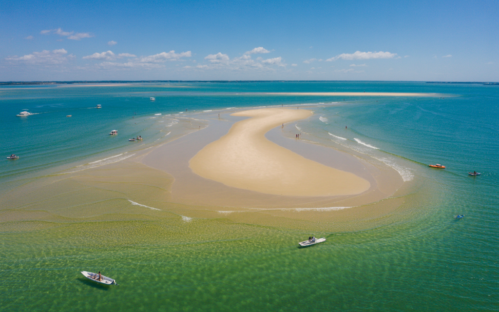
Where: Only visible during low tide in the middle of Estero Bay
Why locals keep it quiet: You need a boat and a tide chart
What you’ll find: A temporary island in the middle of nowhere. Great for floating, bad for tents.
Pro tip: Check the tide window. Plan your trip to leave before the sand disappears.
10. Black Island Shoreline
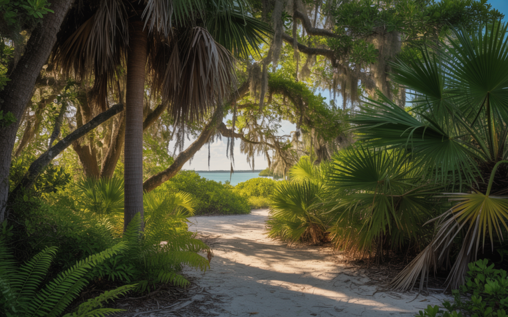
Where: Lovers Key State Park interior
Why locals keep it quiet: It’s more trail than beach. But if you commit? Reward city.
What you’ll find: Miles of unspoiled coast, deer tracks in the sand and almost no one else
Pro tip: Start at the Eagle Trail. Pack water. This one’s for the explorers.
Local Code of Silence
Some of these spots don’t even show up on Google Maps. That’s on purpose. Locals don’t gatekeep out of meanness—it’s preservation. Too much foot traffic, and the charm dies.
So if you go? Leave no trace. Pack out trash. Don’t blast music. Don’t geotag.
You’re in on the secret now. Keep it sacred.
Want more location-specific guides, seasonal tide tricks, or the best spots for finding sand dollars the size of your palm?
Let me know. I’ll keep the rest of the secrets warm.


Leave a Reply